Saturday, January 18, 2025

Free Printable Continents and Oceans Map Bundle

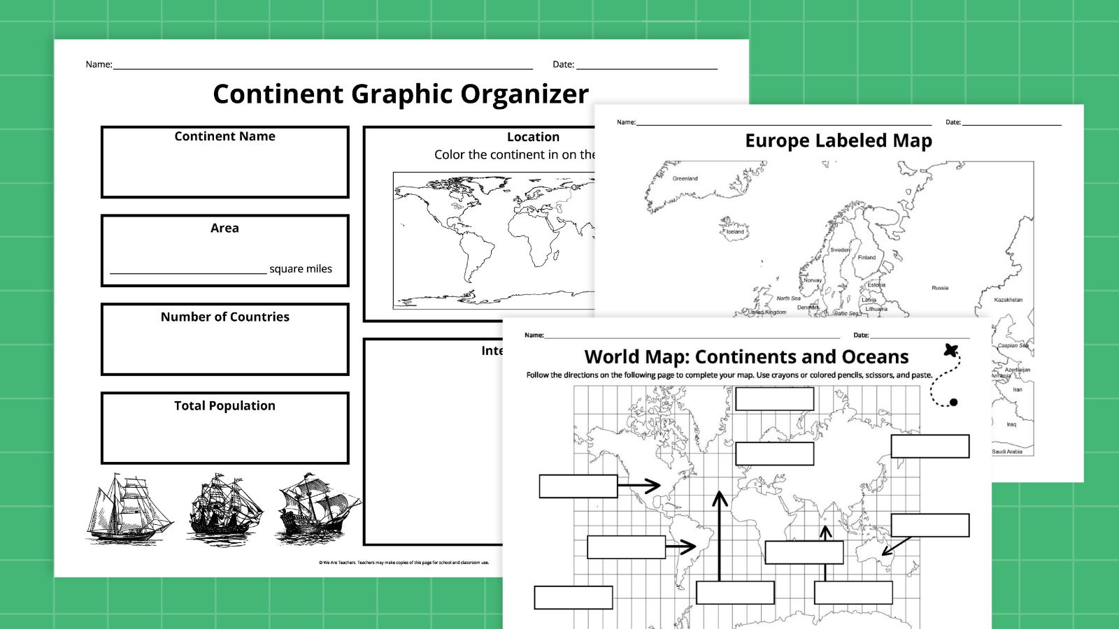
Calling all geography teachers! This huge continents and oceans map bundle includes all sorts of options to use with students. You’ll also get a color-cut-and-paste activity, plus graphic organizers for learning more about each continent and ocean. Grab yours by entering your email in the form on this page.

Continents and Oceans Map Bundle Contents

General Continents and Oceans Maps
Myranda McDonald for We Are Teachers

General Continents and Oceans Maps

Use these maps to get the big picture of where each ocean and continent is found. Here’s what’s included:

  • Blank Continents and Oceans Map
  • Labeled Continents and Oceans Map
Individual Continent Maps
Myranda McDonald for We Are Teachers

Individual Continent Maps

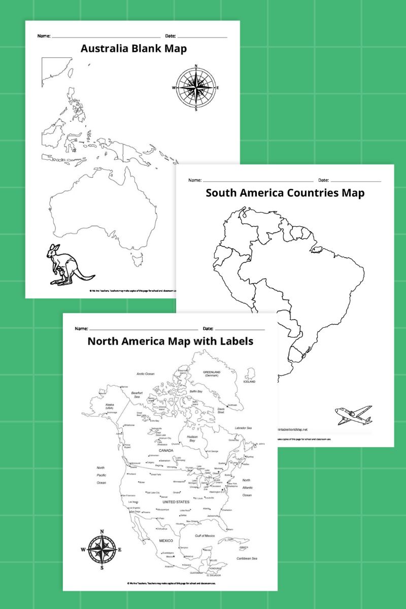
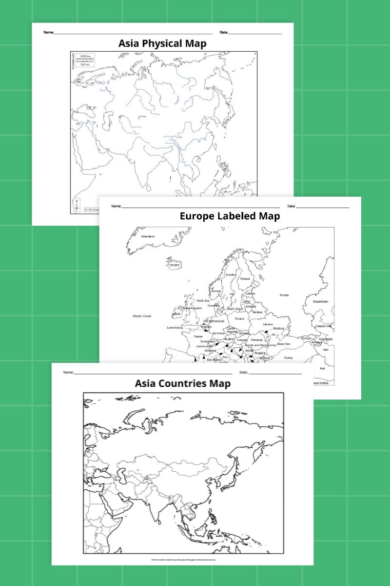
These maps are perfect for learning detailed info about each continent. You get these maps for each continent:

  • Blank Continent Outline Map
  • Blank Continent Map With Country Outlines
  • Labeled Continent Map With Countries
  • Blank Continent Map With Major Rivers
Individual Ocean Maps
Myranda McDonald for We Are Teachers

Individual Ocean Maps

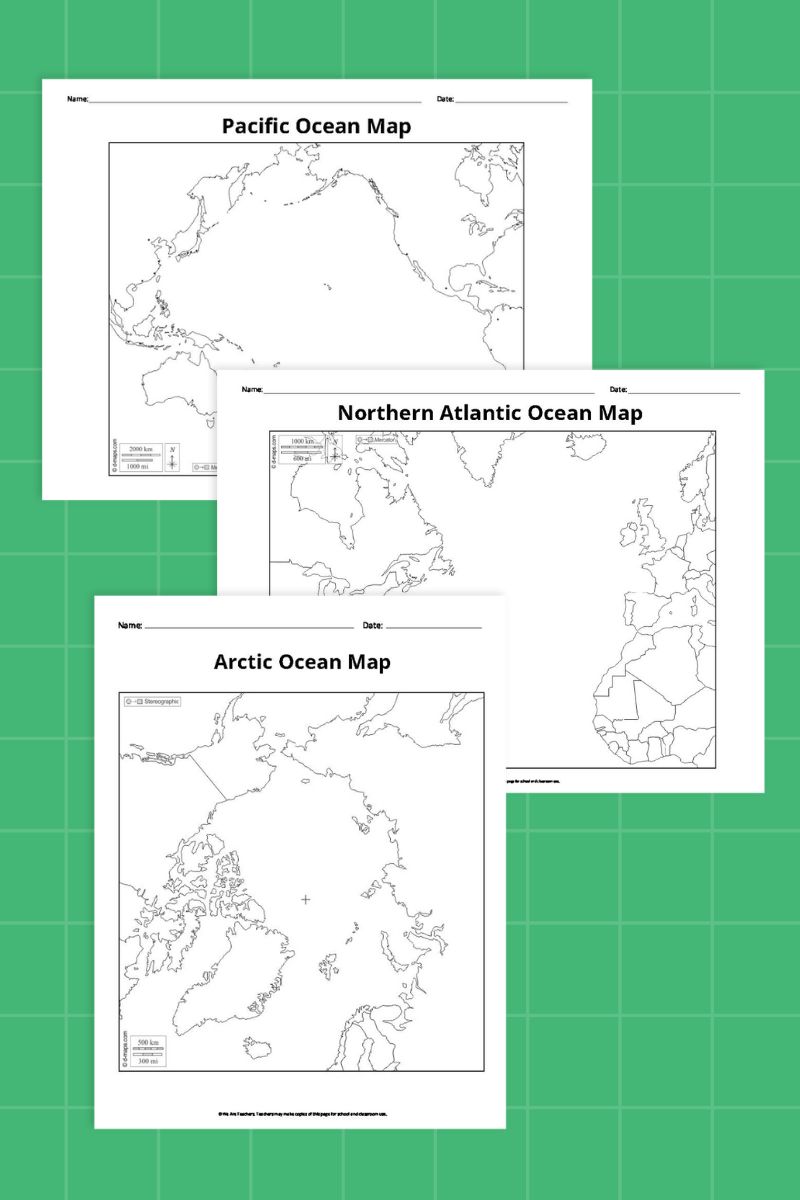
Learn more about the five major oceans using these maps. It includes the Atlantic, Pacific, Indian, Arctic, and Southern (Antarctic) Oceans. Here’s what you’ll find in the bundle for each:

  • Blank Ocean Map
  • Labeled Ocean Currents Map
  • Blank Ocean Currents Map
Individual Ocean Maps
Myranda McDonald for We Are Teachers

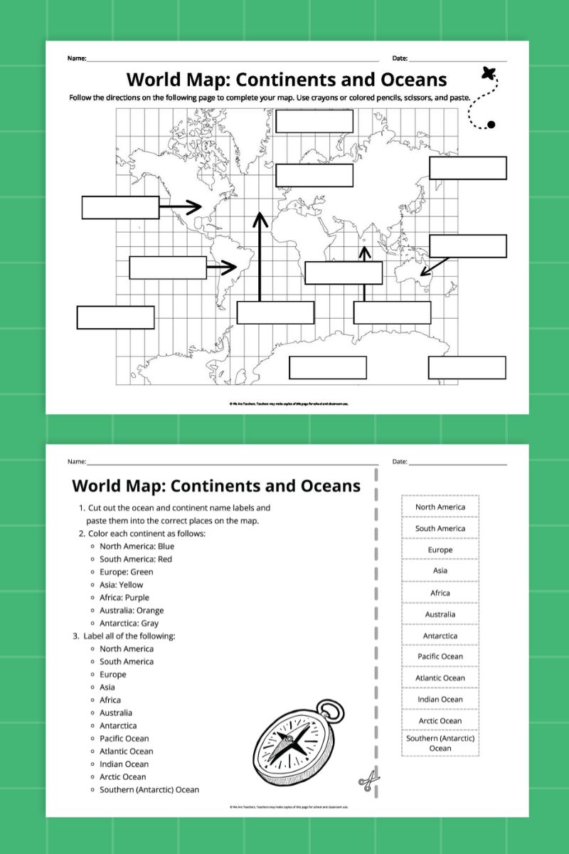
Color-Cut-and-Paste Continents and Oceans Map

The blank map includes places to label each ocean and continent. The accompanying worksheet page includes a set of cut-and-paste labels you can also use as a word bank, plus directions for coloring each continent a different color.

Individual Continent Graphic Organizer
Myranda McDonald for We Are Teachers

Individual Continent Graphic Organizer

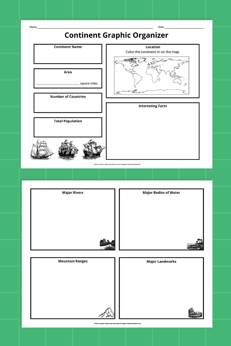
This graphic organizer helps students research individual continents. Sections include:

  • Small world map to color the continent being researched
  • Area, Number of Countries, Population
  • Major Rivers, Bodies of Water, Mountain Ranges, and Landmarks
  • Interesting Facts
Individual Ocean Graphic Organizer
Myranda McDonald for We Are Teachers

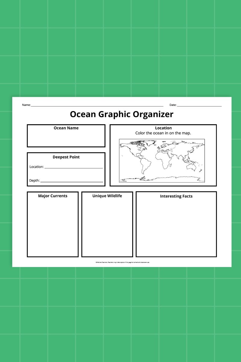
Individual Ocean Graphic Organizer

Use this graphic organizer to research each individual ocean. Sections include:

  • Small world map to color the ocean being researched
  • Major Currents
  • Reefs and Other Underwater Features
  • Deepest Point
  • Unique Features
  • Interesting Facts

Continents and Oceans Map Activity Ideas

Map Out Ocean Voyages

Combine these maps with learning about various explorers and migrations. Draw in lines to represent Viking or Polynesian journeys, or map out the voyages of explorers like Magellan or Cook. Consider wildlife too: Sketch in the seasonal migrations of whales or other ocean-dwelling creatures, for example.

Consider the Effects of Rising Sea Levels

Do some research to learn where scientists predict the effects of melting polar ice caps will have the most effect. Draw in new possible coastlines on the map, and highlight the regions that could wind up underwater if we can’t stop runaway climate change.

Create Continent Collages

Fill in the shapes of the continents with images that represent them. Kids can cut pictures out of magazines, or draw in their own artistic ideas. Some ideas: wildlife, cultural traditions, flags, or traditional textile patterns.

Explore Ecosystems

Divide the ocean or continent map into its various climate zones and ecosystems. Add pictures or lists of the wildlife that inhabits each area, and any defining characteristics.

Trace the Coastlines

Spend some time using a crayon or colored pencil to trace each continent’s coastlines. Note which countries have lots of ocean access, and which are landlocked. Then, see if students can redraw the general continent shapes on their own. It’s harder than it looks!

Get my printables!
Free Printable Continents and Oceans Map Bundle
We Are Teachers

Just click the button below to receive a copy of our printable bundle.
Get even more geography fun with these Hands-On Map Skills Activities!

Related Articles

Latest Articles